ROUTE SELECTION / FIELD GUIDE
An Alpine road can change character within one climb. Broad valley pavement may narrow into a sequence of hairpins, enter a tunnel, then emerge on an exposed slope. Plan for the road that exists today, not the photograph that first caught your attention.
Read the road, not just the map
Start by sorting a route into three useful categories. Scenic driving means a public road chosen for its landscape and steady progress. It still requires attention to traffic, stopping rules and changing conditions. Technical driving describes a road demanding more precise low-speed control because of tight bends, steep gradients, limited width or uneven pavement. It does not mean aggressive driving. Remote mountain travel adds distance from services, weaker communications, fewer alternatives and greater consequence if the itinerary slips.
A route may fit more than one category. Mark junctions, tunnel approaches, narrow sections and places where a legal, safe stop may be possible. Do not assume a lay-by will be available. Avoid stopping on blind bends, in passing places or where your vehicle blocks sightlines. Use signed parking or established stopping areas, and leave room for local traffic and emergency access.
Passes, gradients and switchbacks
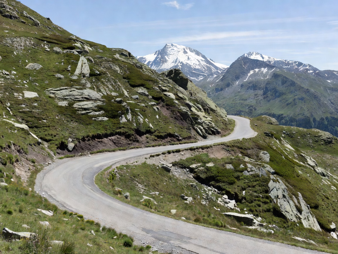
A mountain pass connects valleys across higher ground. The climb and descent can involve repeated hairpins, steep gradients and a sharp change in temperature. On a hairpin, use a controlled speed before the bend. Keep within your lane. Expect cyclists, motorcycles, buses and vehicles taking a wider line. Never use the opposing lane unless the road layout and local rules clearly permit it.
Road width matters as much as distance. A short narrow section can determine whether a route is suitable for a larger vehicle or a driver unfamiliar with mountain roads. Check current mapping and reliable local information for restrictions, vehicle limits, works and closures. A 4x4 badge is not evidence that a vehicle fits every road or turning space.
Surface, tunnels and weather exposure
Paved does not mean uniform. Expect repaired edges, rough patches, water, loose material near roadworks or surface changes at junctions. Slow down where grip or visibility is reduced. Tunnels can bring low light, glare at the exit, ventilation changes and limited stopping options. Follow posted signals and local rules. Do not stop inside a tunnel unless required by an emergency or official instruction.
Exposed sections can meet cloud, crosswind, rain, snow or sudden temperature drops. Higher elevation can change conditions without much warning. Check official road and weather information before departure and again when the journey is long. If visibility, traction or confidence falls below a safe level, use an appropriate safe place to reassess. A pass is not a deadline.
Timing, fuel and navigation
Estimate time with more than the map distance. Add allowances for slower bends, traffic, planned stops, roadworks and changing weather. Avoid building an itinerary around a fixed average speed. Start with enough daylight margin to handle a delay. Keep fuel planning conservative: note suitable refuelling opportunities along the whole journey and a fallback if a stop is unavailable. Do not assume mountain services operate year-round or on a predictable schedule.
Carry navigation that works offline where possible, but retain a current paper or independent backup for critical junctions. Confirm the map date and follow signed restrictions over a device instruction. Share a broad itinerary with someone who is not travelling. Recheck access information on the day, since seasonal opening and temporary works vary by location.
Good for
These routes suit drivers who want a public-road journey with changing scenery, structured stops and the ability to adapt the itinerary. They can also be useful for a first Alpine drive when the chosen roads have clear access information and practical alternatives. Select a route that matches vehicle dimensions, driver experience, passengers and forecast conditions.
What to know
Advantages include predictable legal access on open public roads, a range of route choices and direct links between valleys. Limitations include congestion, limited stopping space, weather exposure, seasonal closures and narrow sections. Local regulations, toll arrangements and access conditions differ. This guide does not confirm that a particular pass is open or suitable now.
Quick route checklist
- Confirm current access, restrictions, roadworks and weather using official sources.
- Review gradients, width, tunnels, stopping options and alternative roads.
- Allow time and fuel margin. Avoid a schedule that depends on speed.
- Carry working navigation with a backup and keep devices charged.
- Drive within the law. Yield safely to vulnerable road users and local traffic.
Choose progress over a perfect itinerary. If the road is closed, exposed or beyond your comfort level, turn around at a safe, legal location and use a verified alternative. Responsible mountain driving means returning with enough time and capacity to finish the journey calmly.